In today’s technology-driven world, finding your way without the aid of GPS might seem daunting, especially during an emergency or a disaster situation where traditional networks can fail. But understanding how to navigate without a satellite telling you where to go is not just a skill for the adventurous or the nostalgic—it’s a critical competence that could be life-saving. Whether due to a natural disaster that disrupts satellite signals or a power outage that renders your devices useless, you could find yourself in a situation where self-reliance in navigation is essential.
By revisiting the basics of traditional navigation methods and tools, you can prepare yourself for such scenarios. Knowing how to read a physical map or compass, recognizing environmental markers, and understanding the fundamentals of orienteering can make all the difference. Additionally, both urban and wilderness environments require different sets of skills and knowledge to navigate successfully. Learning these techniques isn’t just for experts; they are practical skills that anyone can pick up with a bit of practice and preparation.
Key Takeaways
- Traditional navigation skills are essential in a GPS-free disaster scenario.
- Different environments require tailored navigation strategies.
- Preparation and practice can significantly improve survival chances.
Understanding the Basics of Traditional Navigation
Traditional navigation leans on natural observations and has been a reliable fallback for centuries. Whether faced with a disaster situation or just out for an adventure, grasping these skills can keep you on track without the aid of technology.
Natural Landmarks and Terrain
You can use the shapes and features of the land to guide your journey. Recognize mountains, rivers, and valleys as they can serve as your natural compass. For instance:
- Mountains: Orientation can be determined by the mountain’s position relative to where you started.
- Rivers: Generally, follow a river downstream to find civilization or upstream to its source for water.
Observe the terrain carefully; elevation changes can indicate your proximity to certain land features.
Celestial Navigation: Using Stars and the Moon
Navigate by night using celestial bodies:
- Stars: Locate the Big Dipper and draw an imaginary line between the outer two stars of the cup to find the North Star (Polaris), which marks north.
- Moon: The moon’s position and phase can sometimes help to approximate the cardinal directions.
Remember, the stars and moon move across the sky through the night, so use them in conjunction with other methods for accuracy.
Sensing Direction: Weather Patterns and Animal Movements
Nature gives cues that can help you sense direction:
- Weather Patterns: Winds often follow predictable patterns. For example, in many regions, weather systems typically move from west to east.
- Animal Movements: Some animals, like birds, have migration paths that can hint at direction, though this is more complex and requires a deeper understanding of local wildlife behavior.
Pay attention to these natural hints, and over time, you’ll learn to read them more intuitively.
Practical Tools for Orientation
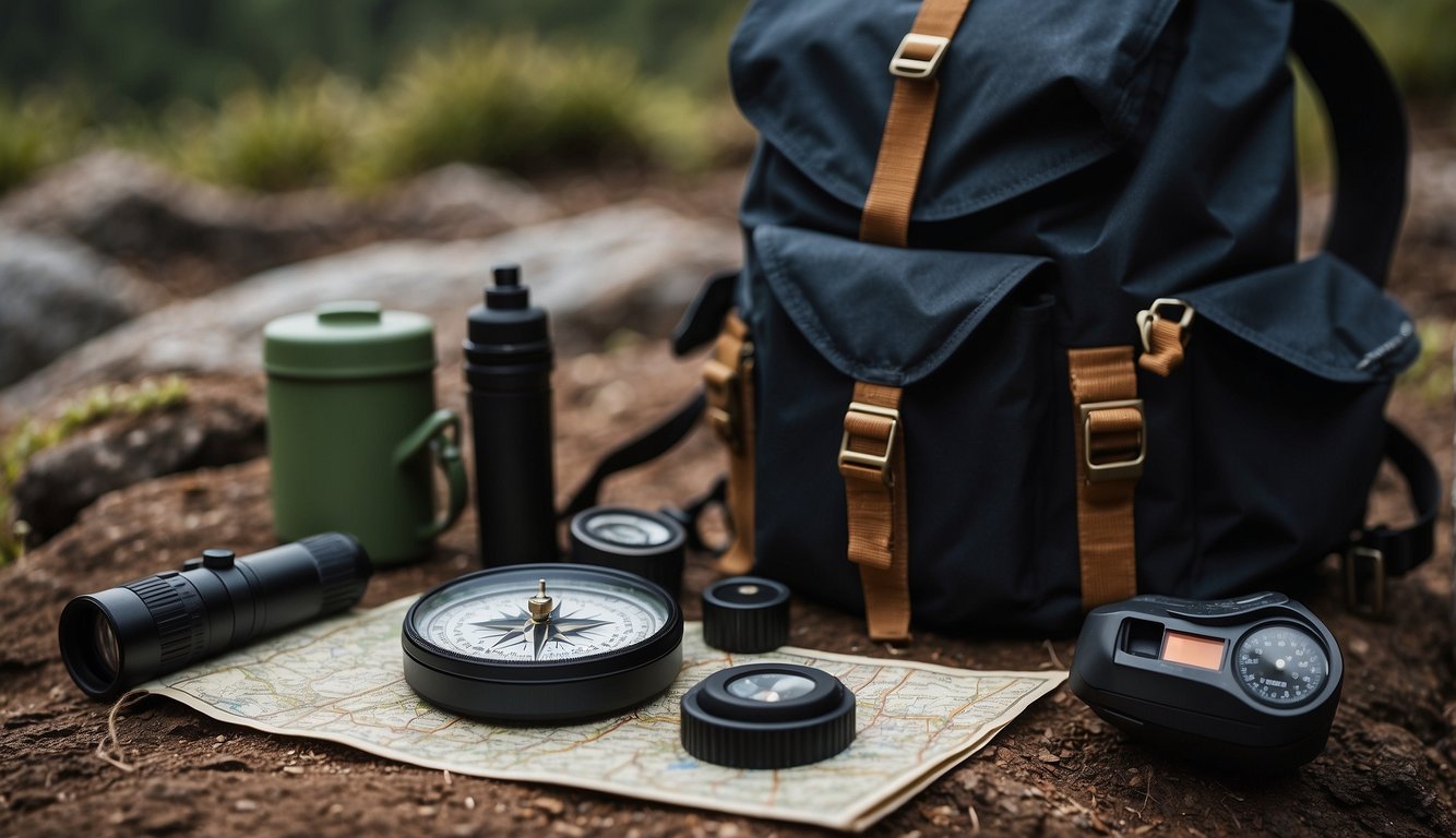
When you’re in a disaster situation without GPS, your ability to navigate using traditional tools could be a game-changer. Here’s what you need to know about using maps, compasses, and timekeeping devices to find your way.
Maps and Understanding Topography
Maps are fundamental to navigation, giving you a bird’s eye view of the terrain. They indicate natural and manmade landmarks, elevational contours, water bodies, and paths. When you understand topographical symbols, you can interpret the lay of the land. Always start by identifying your current location on the map and pair this with recognizing landmarks in your surroundings.
For better clarity, keep these tips handy:
- Regularly check the map’s legend to understand symbols.
- Note the scale to gauge distances.
- Use the contour lines to identify elevations and depressions.
Compasses and How to Use Them Effectively
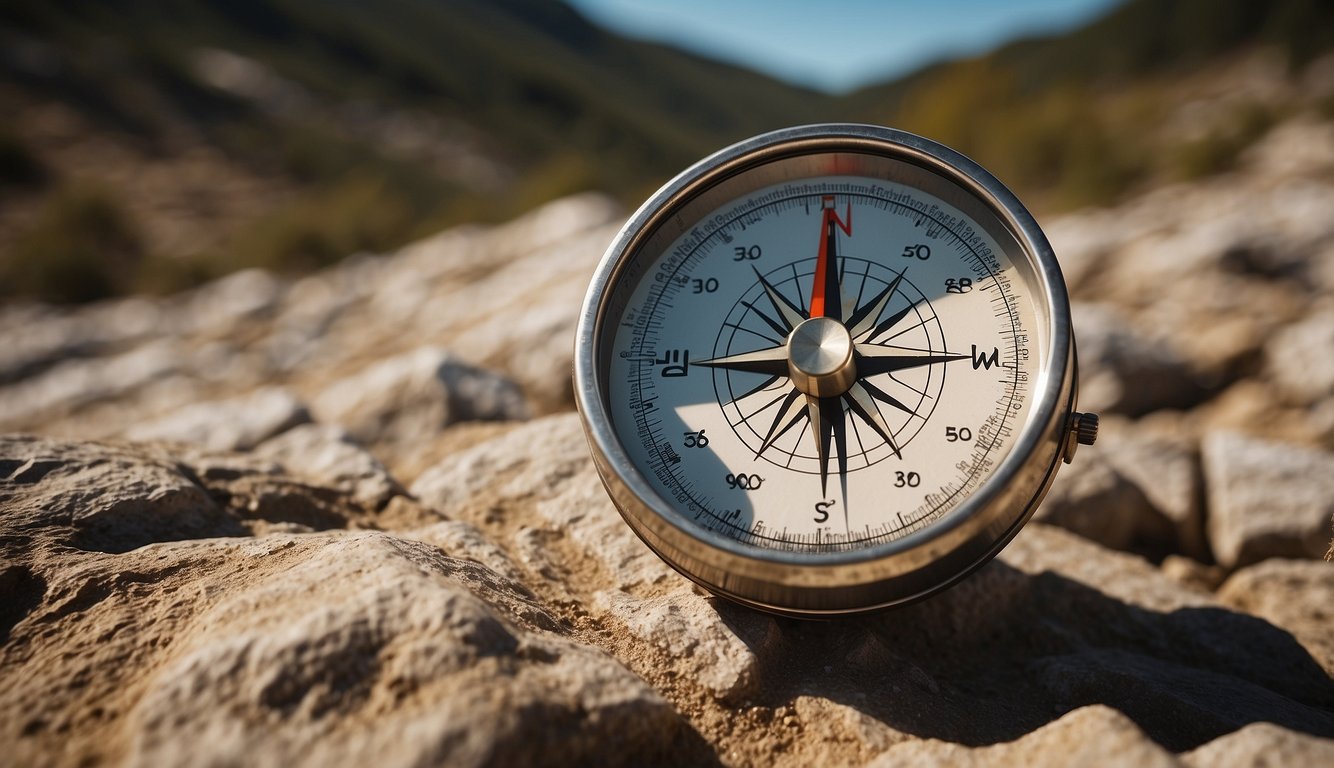
A compass is indispensable if you need to find your way accurately. The key feature of your compass is the magnetic needle, which aligns with the Earth’s magnetic field to point toward magnetic north.
To effectively use a compass:
- Align the compass needle with the bezel’s orienting arrow.
- Read the bearing from the compass, and match it with your map for proper navigation.
- Remember that your compass shows magnetic north, and you may need to correct for the variation when comparing to true north on your map.
Timekeeping Devices: From Analog to Digital Watches
Your watch can be a surprising navigation ally. Analog watches can be used to find cardinal directions in the Northern Hemisphere, by pointing the hour hand towards the sun; halfway between the hour hand and 12 o’clock is your rough southerly direction.
If you have a digital watch, you still can use the sun and a bit of ingenuity to approximate directions:
- Use a stick to cast a shadow and mark the tip.
- Wait about 15 minutes for the shadow to move and mark the new tip.
- Draw a line between the two marks – that’s an east-west line.
Remember, the ability to use these tools effectively comes with practice, so familiarizing yourself with them before you need them is ideal.
Environmental Indicators
When your GPS is down, nature gives you plenty of cues to find your way. You just need to know where to look and what to look for. Here’s how you can navigate using environmental indicators.
Reading Vegetation and Wildlife Signs
Vegetation often develops patterns based on sunlight exposure. For example, trees often have thicker foliage on the southern side in the Northern Hemisphere due to more sunlight, guiding you on an east-west axis. Observing animals can also be insightful; birds tend to fly towards water sources at dawn and dusk, which might indicate the direction of a river or lake.
Navigating by Waterways
Rivers and streams can be lifesavers. They follow the path of least resistance and often lead to larger bodies of water or civilizations. Remember that water flows from high to low ground, and paying attention to the flow can help guide you downstream towards potential resources or help.
Utilizing Shadows and the Sun’s Movement
You’ve got a natural compass above you: the sun. It rises in the east and sets in the west, providing a reliable east-west bearing. In the morning or late afternoon, when shadows are longer, stick a straight stick vertically into the ground and mark the shadow’s tip. Wait 15 minutes, mark the new position of the tip, and draw a line between the two points. This gives you an east-west line—standing with the first mark on your left points you north.
Strategies to Enhance Navigation Skills
In the absence of GPS, your survival could depend on how well you navigate using the natural world and your instincts. Let’s break down ways to refine your navigation skills, even in the toughest spots.
Developing a Keen Sense of Direction
Trust your senses. They’re more finely tuned than you might think. Pay close attention to the sun’s direction, the wind’s patterns, and environmental markers like prominent trees or hills. The sun rises in the east and sets in the west, which can help orient you during the day.
Tracking and Pathfinding Techniques
- Observe animal tracks, which often lead to water sources and clearings.
- Use the “handrails” technique: find natural lines like streams or ridgelines that lead in a general direction and stick to them. This way, you minimize the chances of walking in circles.
Creating Itineraries and Emergency Plans
Before venturing out, create a detailed itinerary including departure times, routes, and expected return. Share it with someone you trust.
- In an emergency, refer to your plan and stay put if possible—it’s easier for rescuers to find you.
- Practice creating routes with landmarks and fallback points to stay oriented in challenging environments.
Modern Assistance in a Non-GPS Context
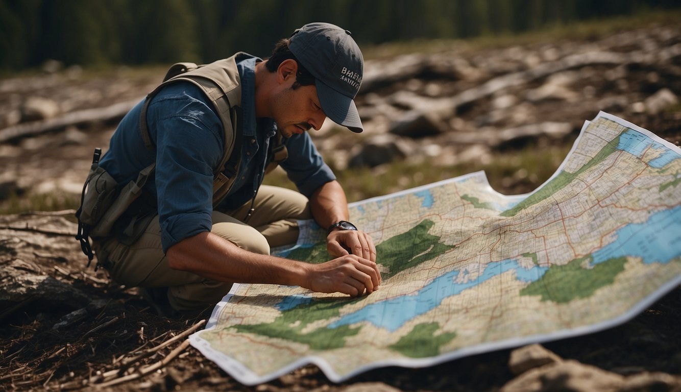
You’re not left in the dark when GPS isn’t an option. Modern technology provides a suite of alternatives that keep you on the right path during disaster situations.
Alternative Navigation Systems and Technologies
GLONASS, Galileo, and BeiDou are your go-to’s when GPS is off the table. These global navigation satellite systems offer similar functionality to GPS, giving you a backup when you need it most. They’re particularly useful if you’re dealing with targeted jamming or interference events, as they operate on different frequencies.
- GLONASS is Russia’s answer to GPS and can serve as a reliable alternative.
- The European Union’s Galileo system boasts increased accuracy for civilian use.
- BeiDou is China’s rapidly expanding system, offering coverage across Asia and beyond.
Using Portable Electronics and Their Sensors
Your smartphone or tablet is more resourceful than you might think. Built-in sensors and hardware like Inertial Measurement Units (IMUs) and MEMS allow these devices to help navigate even without a satellite signal. The sensors can detect movement and orientation, which, when coupled with pre-downloaded maps, can estimate your location to a surprisingly accurate degree. Just remember, the battery life on your portable electronics is limited, so use them wisely.
Dealing with Interference and Jamming Scenarios
In a crisis, you might face deliberate jamming designed to disrupt navigation. Having alternative technologies on hand can mitigate the chaos. Drones and missiles sometimes leverage advanced inertial guidance systems that aren’t as vulnerable to these threats. For naval operations, integrating old-school navigation methods with new technologies ensures that fleets remain on course, even when adversaries attempt to block satellite signals.
Survival Tips and Tricks
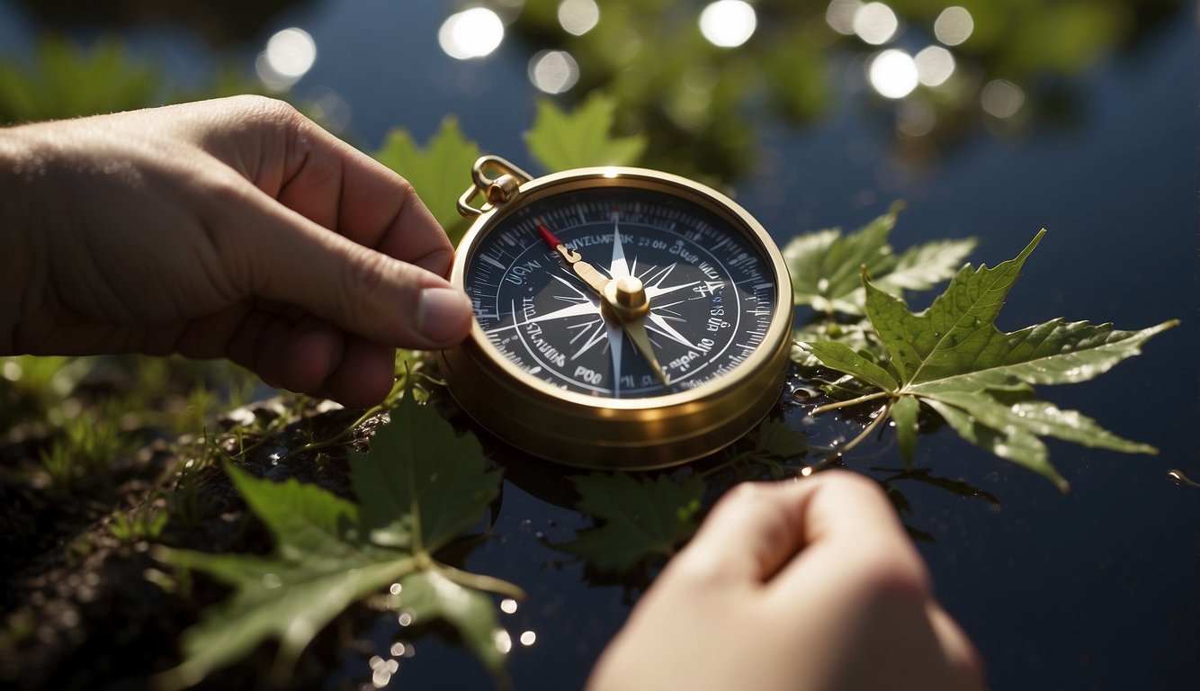
In a disaster situation, knowing how to navigate, find water, and sustain yourself are critical skills that can make the difference between life and death. Here are some specific strategies to help you survive in the wilderness without modern technology like GPS.
Emergency Techniques for Finding Directions
You can use the position of the sun and shadow sticks to find a general sense of direction. By placing a stick vertically in the ground and marking the tip of its shadow, waiting about 15 minutes, and marking the new position of the shadow tip, you create a rough east-west line. Also, if you have an analog watch, you can point the hour hand towards the sun. Bisect the angle between the hour hand and 12 o’clock on your watch to approximate a north-south line.
Locating and Purifying Water in the Wilderness
Your main goal is to locate a water source. Follow animals or insect trails as they tend to lead to water, and valleys and low areas usually house bodies of water. Once you find water, purification is essential; boiling is your safest bet. If boiling isn’t an option, use a shirt or cloth to pre-filter and then use purification tablets if you have them.
Foraging, Hunting, and Shelter in a Survival Situation
For food, prioritize plants you know are safe and easy to identify like dandelions. Insects, while not appealing, are often rich in protein. When hunting, focus on traps and snares to conserve energy. For shelter, use natural structures when possible and reinforce them with branches and foliage to protect yourself from the elements. Remember to keep your shelter small to maintain body heat.
Preparing for the Unexpected
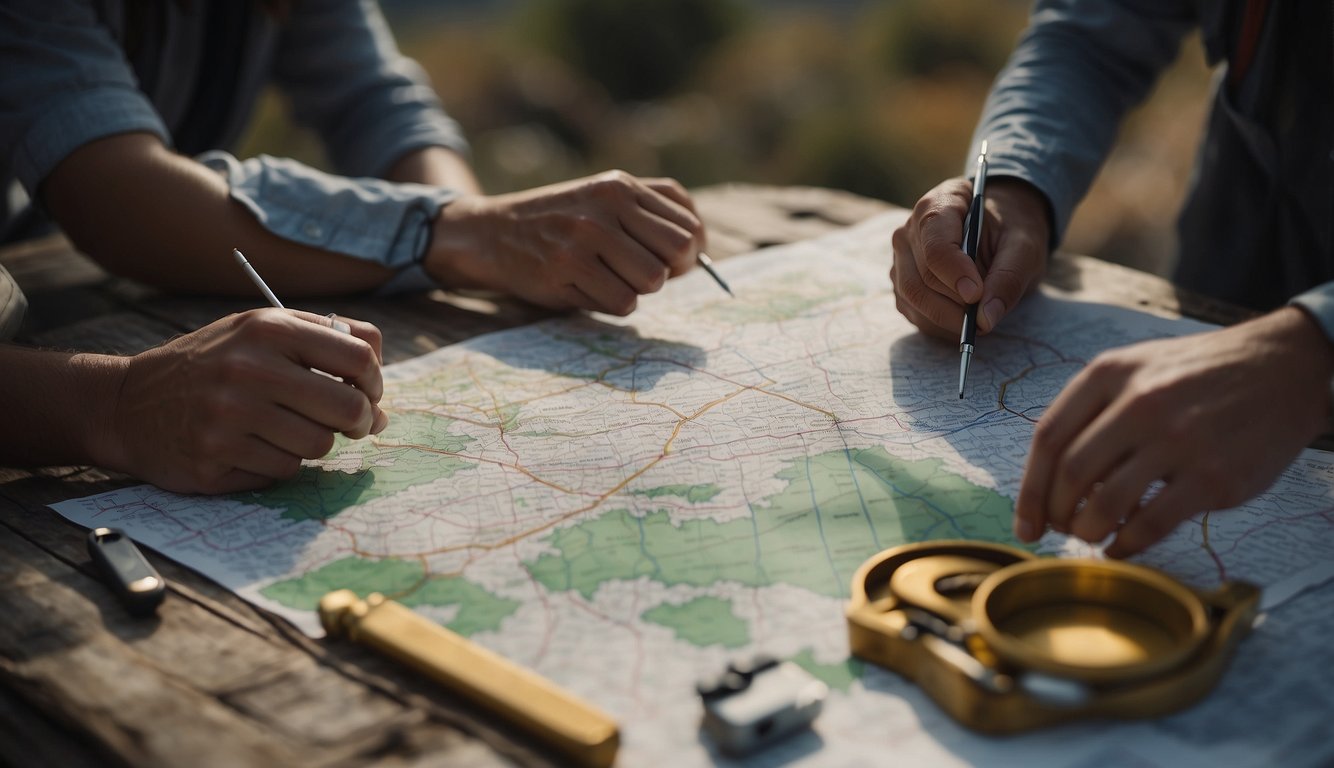
When disaster strikes, GPS and other tech might fail you. Let’s get you ready to navigate the old-school way, with tools and skills that could save your day.
Emergency Kit Essentials
Your emergency kit should be your best friend in a disaster. For navigation purposes, pack a reliable compass and maps of your local area. Familiarize yourself with both before you actually need them. Of course, you’ll also want to include:
- Waterproof matches or a lighter
- A whistle to signal for help
- Signal mirror for visual distress signaling
Remember, these tools are only as good as your ability to use them, so practice is key.
Boy Scout Training and Wilderness Education
You’ve got tools, but your wits and knowledge are just as critical. Boy Scout training emphasizes skills like reading a map, using a compass, and recognizing natural landmarks. They’ll teach you to:
- Identify constellations for celestial navigation.
- Use natural indicators to determine direction (e.g., moss on trees, sun position).
So, consider taking a course or even just reviewing Boy Scout materials for pointers.
The Role of Rescue Teams and How to Signal Them
In a rescue situation, your ability to signal can make all the difference. Rescue teams are trained to search for:
- Three of anything (blasts of a whistle, flashes of light, etc.) as this is an internationally recognized distress signal.
- Ground symbols like letters “X” or “SOS” made with logs, rocks, or even creating trenches in the snow.
Always ensure you’re visible and audible to increase your chances of being found.
Keeping Oriented in Urban vs Wilderness Scenarios
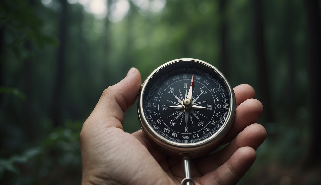
Whether you’re surrounded by skyscrapers or miles of wilderness, knowing how to find your way without GPS is vital in a disaster. Let’s see how you can use your environment to your advantage to maintain your bearings.
Navigating in the Concrete Jungle
In urban settings, roads and buildings are your primary navigational landmarks. Streets often follow a grid pattern—use this to keep track of your direction. Pay attention to one-way traffic signs; they can hint at the flow of the city layout. Street names and building numbers increase either up or down, helping you to determine a pattern in position and direction. For example, if building numbers are getting higher, you’re likely moving away from the city center.
- Visual landmarks: Spot distinctive buildings or structures to maintain your orientation.
- Sun position: Even in an urban maze, the sun rises in the east and sets in the west.
- Technology remains: Even without GPS, you might find emergency service kiosks or maps at bus and subway stations.
Wilderness Survival: Beyond the Concrete
Out in the wilderness, it’s back to basics. Use natural landmarks—rivers, mountain ranges, or configurations of trees—as references. Understanding the sun’s path is also crucial; it’s your organic compass. Remember, moss commonly grows on the north side of trees (in the Northern Hemisphere), which can assist in determining cardinal points.
Create waypoints: Mark your path by tying pieces of fabric to branches or by stacking rocks. It’s not just about looking ahead, but also ensuring you can retrace your steps.
- Water sources: Streams and rivers can be followed downstream to civilization.
- Stars: At night, learn to find the North Star (Polaris) or the Southern Cross, depending on your hemisphere, for direction.
- Sound: Pay attention to distant noises like traffic or waterfalls, which can lead you to roads or habitable areas.
By using these techniques tailored to urban and wilderness settings, you can keep yourself oriented in different disaster scenarios.
Enhancing Reliability and Accuracy in Direction Finding
In a disaster situation, your ability to navigate accurately and reliably could mean the difference between getting to safety and getting lost in danger. Let’s dive into some ways to keep your bearings straight without relying on GPS.
Cross-Referencing Techniques for Better Accuracy
You’ll want to use more than one method to confirm your location and direction. Start with the classic: a paper map and compass. These don’t require power and are immune to electronic failures. When you cross-reference landmarks and natural features visible to you with their representations on a map, you increase the accuracy of your positional awareness. In addition to these, you can apply the techniques developed by researchers, such as employing environmental signals like cellular networks to triangulate your position.
Maintaining a Consistent Path
Keep your path consistent by picking a distinct landmark in your desired direction of travel and heading towards it. Ensure this method is reliable by using a physical tracking wheel or a pace count. Both tools assist you in keeping track of the distance travelled. If you’re carrying a smartphone, use it to create a digital breadcrumb trail; some apps can track your movements even without a data connection, providing an electronic record of your path.
Navigational Aids and Markers to Avoid Getting Lost
Lastly, don’t underestimate the value of physical navigational aids. Brightly colored ribbon or chalk can mark your path if you need to backtrack. Whether you’re in an urban jungle or actual wilderness, this tactic is a practical way to help ensure you don’t go in circles or retrace your steps unnecessarily. If you’re moving with a team, prearranged symbols can communicate a consistent message to all members about the correct way forward, adding to the overall reliability of your group’s mapping strategy.
Conclusion
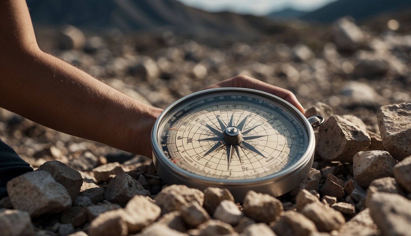
In the absence of GPS, your ability to navigate can still be robust, especially if you’ve honed the traditional skills of map reading and compass use. When a disaster strikes, being prepared with these non-digital navigation methods could be critical. Familiarize yourself with local landmarks, as they can serve as your guides in unfamiliar terrain.
Here’s a quick checklist to ensure you’re ready to navigate:
- Learn Basic Map Reading: Understanding how to read a topographic map is crucial.
- Use a Compass: Practice aligning your map to magnetic north and plotting a course.
- Observe Landmarks: Pay attention to natural landmarks for points of reference.
- Stay Calm: Keeping a clear head helps in making rational navigation decisions.
During emergencies, remember that your knowledge is your most valuable tool. While GPS is convenient, it’s not infallible. Your self-reliance in navigation can make all the difference. Keep these pointers in mind, and where technology might fail, you won’t.

Leave a Reply